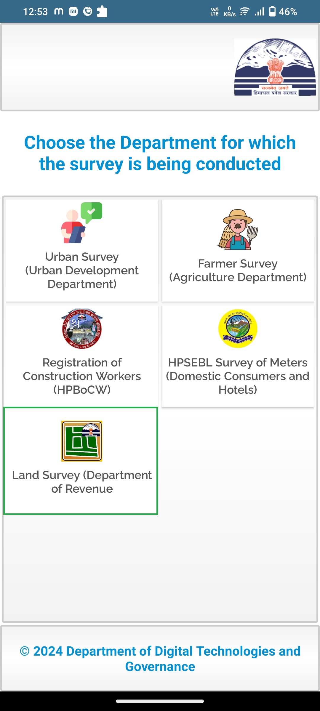
dirit-hp@nic.in

+91 1772628914

Logo
Land Record Survey - Department of Revenue, Government of Himachal Pradesh

Land Record Survey - Department of Revenue, Government of Himachal Pradesh

Efficiently collect and manage landowner data to maintain an updated Land Record Survey Database, ensuring accuracy and Aadhaar seeding for Government use.

My Team

HOW IT WORKS

Conducting a survey with ease in three simple steps.

  • 01

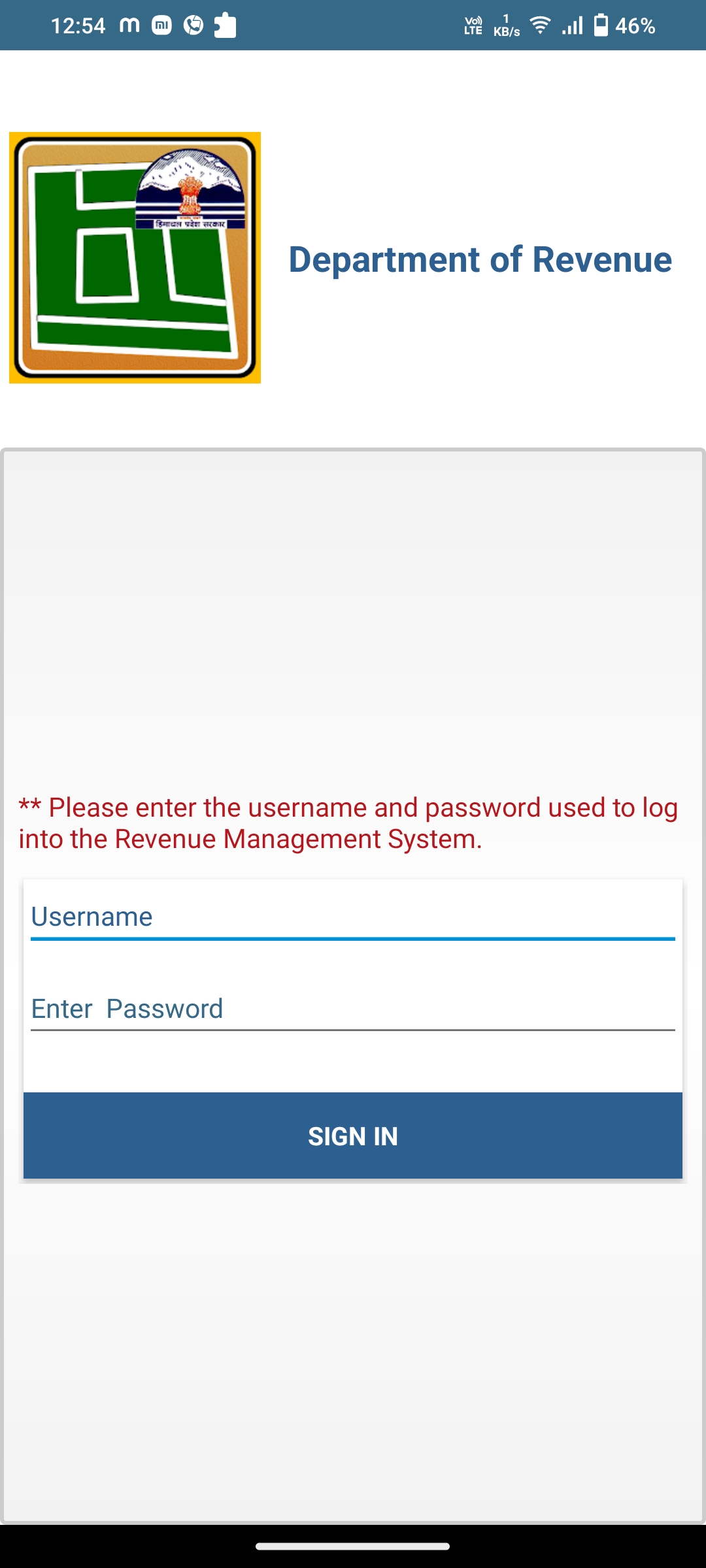
    Login into the Application

    Easily log into the application using the credentials from the existing Revenue Management System, ensuring secure access to your authorized account. The user-friendly interface simplifies the login process for your convenience. Once logged in, you can explore the applications features and resources for a seamless experience.
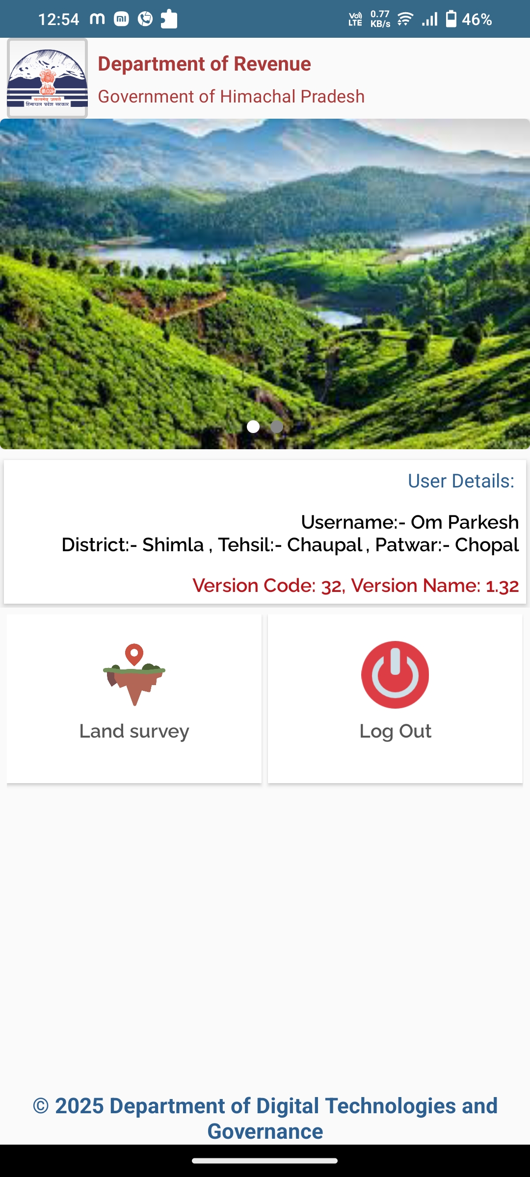
    My TeamMy Team
  • 02

    Conducting Survey

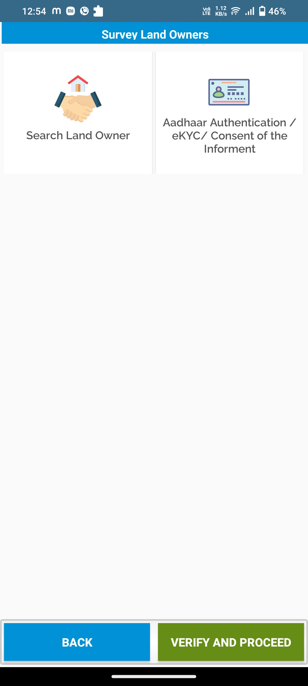
    The Department of Land Record Survey Application provides an efficient and systematic data collection process for landowners within Himachal Pradesh. Patwaris are able to conduct surveys by searching for the landowners name and performing eKYC. The application also allows for the seamless addition of new entries, ensuring that land ownership data remains current and accurate. These features collectively enhance operational efficiency and contribute to effective land management and planning.

    My Team
  • 03

    Data to be Captured

    The State Land Record Survey Application captures essential data elements for accurate and reliable land ownership information. This includes property details, survey records, and searches for revenue records and Him Parivar details. Aadhaar eKYC and face authentication ensure verified landowner identity, enhancing the security and accuracy of the data. These components together create a robust database that supports informed decision-making in land management and service delivery.

    My Team

Designed & developed by DDT&G